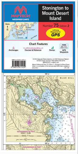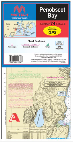
Chartbook: Penobscot Bay to Mount Desert Island
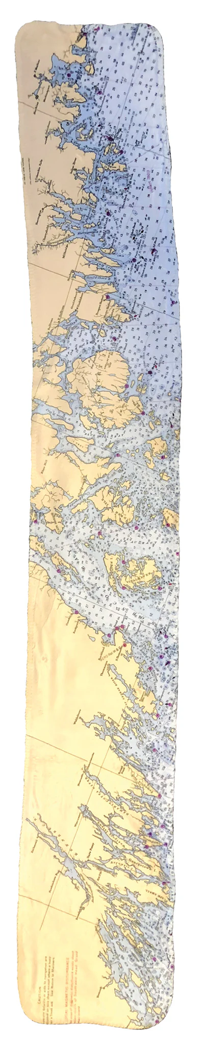
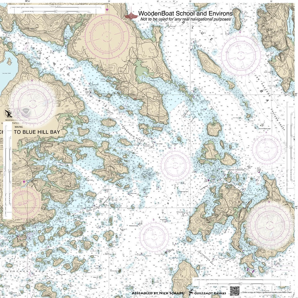
Detailed coverage of Penobscot Bay and River to Blue Hill and Frenchman Bays. 33 chart pages, GPS waypoints, Lat./Long. grids, courses, ramps, and 85 facilities. 12" x 17", scales 1:430,000 to 1:11,400 (predominant scale is 1:45,500).
Product Information
Product Information
Shipping & Returns
Shipping & Returns
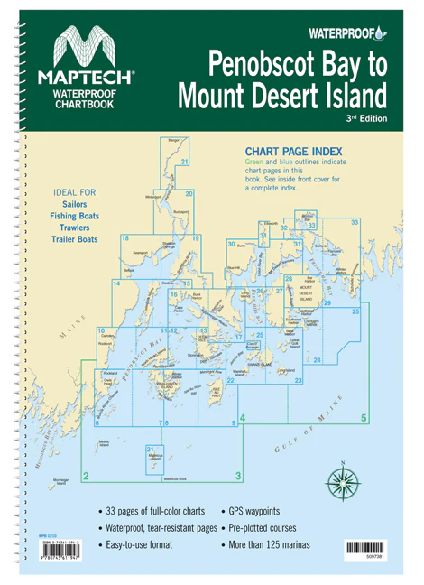
Chartbook: Penobscot Bay to Mount Desert Island
Chartbook: Penobscot Bay to Mount Desert Island
Detailed coverage of Penobscot Bay and River to Blue Hill and Frenchman Bays. 33 chart pages, GPS waypoints, Lat./Long. grids, courses, ramps, and 85 facilities. 12" x 17", scales 1:430,000 to 1:11,400 (predominant scale is 1:45,500).
Original: $69.95
-65%$69.95
$24.48Product Information
Product Information
Shipping & Returns
Shipping & Returns
Description
Detailed coverage of Penobscot Bay and River to Blue Hill and Frenchman Bays. 33 chart pages, GPS waypoints, Lat./Long. grids, courses, ramps, and 85 facilities. 12" x 17", scales 1:430,000 to 1:11,400 (predominant scale is 1:45,500).